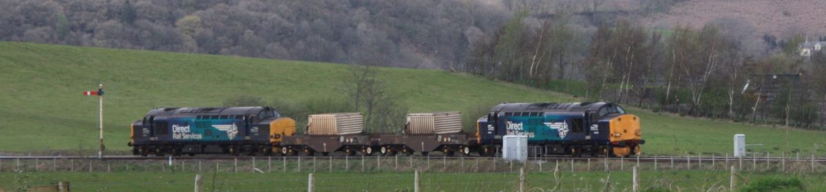
 Rail-borne visitors to the UK’s 2017 city of culture could probably be forgiven for failing to spot during the latter stages of their journey what many enthusiasts would describe as some of the finest remaining semaphore signalling in England. It survives on a 9.5 mile stretch of line between Gilberdyke Junction and North Ferriby, but is being swept away in a £34.5 million upgrading project, due for completion in Spring 2018.
A key driver of the decision to replace reputedly the largest number of semaphore signals on any English main line route is a wish to enable later services at Hull, as the manual signal boxes are all closed overnight. That means the last train departing Hull at 22.20 and the final arrival of the day, according to the current timetable, a Northern Rail service from York at 23.35. Once re-signalling has been completed, the hope locally is for faster trains and potentially for all-night services.
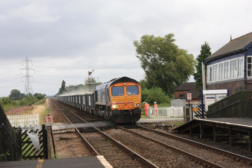
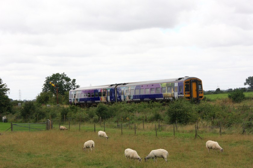
GBRF 66724 passes signalling engineers working at Broomfleet station on 9 August 2017 with a freight train from Hull to Ferrybridge Power Station
While the south of England was suffering torrential downpours on Wednesday, 9 August, I paid a day-long visit in largely fine weather to sample as much as I could of this fascinating stretch of route, beginning at Gilberdyke, catching the one day-time train to call at Broomfleet (11.26 from Gilberdyke) before taking a six-mile walk from there to Brough, in order to visit the intermediate boxes at Cave and Crabley Creek.
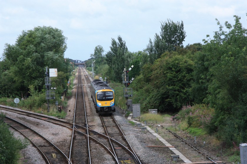
 Gilberdyke lies 17 miles inland from the end of the line at Hull and is a junction where the route towards Goole and Doncaster diverges west of the station from the main route on towards Selby and Leeds. With its once heavy freight traffic the route back towards Brough was previously quadruple track, but was rationalised in 1987, when new platforms were built at Gilberdyke, Broomfleet and Brough and signals relocated to stand on the trackbed of the former outer running lines.
From a road bridge close to the station it is possible to get a good view of the 1903-vintage North Eastern Railway signal box and most of the semaphores it controls at the junction itself and beyond in the Selby direction, with the Goole line diverging to the left. Turning in the opposite direction there is a good vantage point from the station footbridge down one of the longest stretches of straight track in Britain, where four semaphores are visible, some being controlled by the nearby Oxmardyke gate box, which I sadly did not have time to visit.
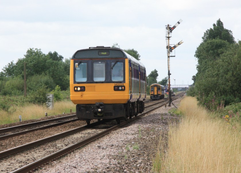
 As at Gilberdyke, Broomfleet was the scene of considerable signalling activity, with a dozen or so men in high-vis jackets working close to the fine 1904-vintage North Eastern Railway box. Semaphore signalling here comprises up and down home signals, with an up starter also visible in the distance. Looking in the down direction a colour light protects nearby Cave Crossing, with up home and distant signals visible just beyond that crossing.
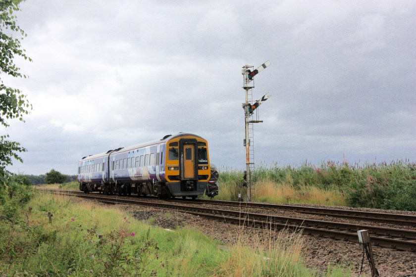
Cave a another North Eastern Railway 1904-vintage box, but a diminutive structure compared to Broomfleet, which is largest of the remaining boxes on this stretch of line. It is only a 20-minute walk along country lanes from Broomfleet and there is a nice vantage point looking east from the north side of the crossing to see the up home and distant signals (pictured above).
 The walk from Cave to Crabley Creek is somewhat challenging and requires the local Ordnance Survey map to show a path crossing the lane leading away from Broomfleet about 300 yards beyond the crossing. Head southeast along this path and over the railway line, then bear left and make for the range of buildings that make up Crabley Farm.
This is a charming spot, where the box (pictured above) controls wooden gates giving access to the farm area, as well as three semaphore arms – home signals in each direction and a motor-operated up distant [the down distant is a light].
Talking to the helpful signaller at Crabley Creek, a curious quirk of railway history means that when the re-signalling project completed, the box here will have to remain manned, even when control of the line is taken over by the regional signalling centre at York. That is because of a deed in the original sale agreement when the line was built, by which the owner of Crabley Farm allowed a level crossing to be built on condition that its signal box was always manned!
 From Crabley Creek to Brough is a steady 2½-mile walk along a rather muddy dyke that forms part of the Trans-Pennine Trail and runs parallel to the railway line and close to the banks of the River Humber. Walking this rather desolate stretch of path gives you a chance to photograph trains passing Crabley Creek’s motor-operated up distant signal (pictured above)
 At Brough, semaphore signalling was rather less evident than at Gilberdyke and other places along this line. There is a tall up starter, while the down starter and up home signals are both three-aspect colour lights. Take a 300-yard walk down a path alongside the line, however, and you reach a level crossing adjacent to Brough East signal box, yet another North Eastern Railway signal box from 1904.
There is a good view from the south side of the crossing towards the crossing box at Welton, with three semaphore signals in view, all carrying both home and distant arms. Time did not allow me to get all the way to Welton, but there is another good vantage point from a foot crossing midway between Brough and Welton (pictured above).

You must be logged in to post a comment.